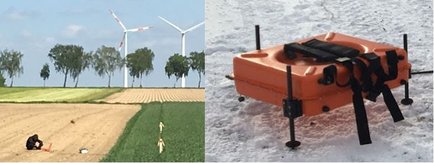
Instrumente Geophysik
The institute of Geophysics and Meteorology holds various geophysical instruments for exploration of the earths interior from shallow depth of a few meters down to several kilometers. The focus is of the applied geophysics working group is research and education on electrical and electromagnetic (EM) exploration in time and frequency domain – using active/controlled source electromagnetic (CSEM) and passive surveying techniques. Our equipment ranges from older analog devices to modern stand-alone data loggers with multi-component sensors. Applications are environmental and engineering from shallow to intermediate depth, groundwater exploration, mineral-, hydrocarbonand geothermal- exploration, archaeological prospection and general geoscientific studies.
Short Offset Transient Electromagnetics (TEM)
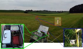
Several multichannel systems for shallow to intermediate subsurface imaging, used mainly for time domain application with loop sources and magnetic field sensors.
- Zonge GDP32-II
- Zonge GDP32-24
- EMIT SmartTEM-24
- Zonge NT-20, ZT-30 Transmitters
Long Offset Transient Electromagnetics (LOTEM)
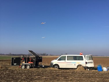
High power transmitter as well as stand alone GPS synchronized receiver units are used for intermediate to deep subsurface imaging. Electric and Magnetic field sensors at transmitter-receiver offsets up to few kilometers measure the temporal decay of the EM fields.
- Zonge GGT-30 Transmitter (30 kW) + ZMG Motor Generator
- KMS 820 multi-channel receiver units
- EMIT SmartTEM-24
- various GPS controller units (compatible to Zonge devices)
CSEM/TEM/LOTEM Sensors
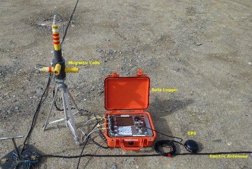
Various induction coil sensors that can be used for time and frequency domain CSEM surveying such as TEM/LOTEM or also MT/RMT.
- Geonics 3D LF induction coil triple
- Zonge TEM-3 induction coils
- 3 component receiver (purpose build)
- Metronix SHFT02 3-component magnetic field Sensor
- CuCuSo electrodes
- several air coils
Radiomagnetotellurics (RMT/VLF)
Light weight and compact RMT devices are well applicable for shallow subsurface imaging down to ~100 m depth. Remote radio-transmitters in the frequency range of 10 – 30 kHz are used as EM source. Electric and magentic fields are measured on the earths, surface to derive RMT transfer functions in the frequency domain. In the lower frequency band from 1 – 10 kHz a controlled dipole source can improve the surveying technique.
- SM25 – RMT-C, 5 channel logger with extended frequency band
- SM25 – RMT-F, 4 channel logger
- SM25 - RMT-M, 2 channel logger
- SM25 – RMT Transmitter
- Müller-RMT, 2 Channel analog device
- Scintrex VLF
Direct Current Resistivity (DCR/ERT) and IP
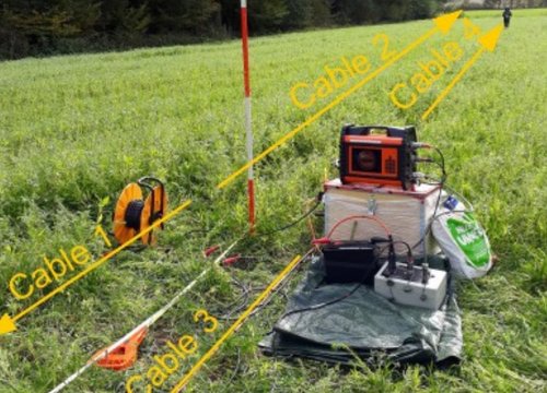
Resistivity measurements allow for robust subsurface imaging from shallow to intermediate depth. Several multi-channel systems with a maximum electrode spread of 400 meter are available. Analog devices are mainly used for 4-point vertical electrical soundings. IP data can be measured with different devices, although the ABEM LS allows for recording the full voltage waveform.
- ABEM LS, 4 channel system
- ABEM SAS 4000 + Lund ES10-64
- EMIT SmartTEM-24 + IP Breakout box for DC/IP applications, 16 Channels
- Lippmann 4Punkt-light (VES and multi-electrode system)
- ABEM SAS 300
- IP transmitter IRIS VIP 3000
Others
Electrical Conductivity Mapping: GF instruments CMD Explorer
Magnetic: GEM GSM 19T Gradiometer & Magnetometer
Gravimetry: Lacoste-Rhomberg Type Gravimeter
Seismics: ABEM Terraloc Mark 6, 24 channels
Soil moisture: FDR-device delta T theta-probe
